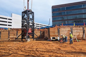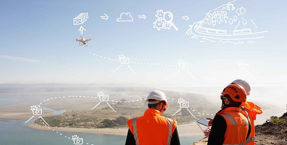

The way surveying is done in mining, tunneling, drilling and construction projects is set to change dramatically, thanks to a new software technology that global engineering and infrastructure advisory company Aurecon has developed. Currently, the status quo for inspecting rock faces is a manual process where geologists measure the failure planes and joints on the rock face in the field. With Aurecon’s new digital rock mass mapping from UAV photogrammetry tool, this can be done more accurately, quickly, safely and remotely.
Camilla Gibbons, Aurecon Infrastructure Associate in New Zealand, said that with the use of drones, smart algorithm development and software, the manual part of surveying has been transformed into a computerized method. “We are prototyping a software solution that uses drones to take digital photos of rocks and sites so that we can create 3D digital models. Our team has developed algorithms to extract the data from the photos so that we can automatically identify the areas that need to be measured within seconds,” said Gibbons. Around the world, whether South Africa or New Zealand, manual measurement methods are routinely used to get a statistically valid data set to represent the rockface.
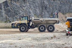
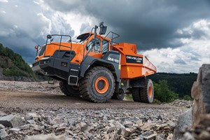
Not only is this a time-consuming process, but it also puts people in a high-risk environment for an unnecessarily long time. In environments like mine pits, quarries and large construction sites, people share spaces with large vehicles and plants. But in environments where companies are aiming for automated processes, the mixing of people and plant occurs minimally at best to ensure efficiency and most of all safety.
Richard Matchett, Aurecon Digital Practice Lead in RSA & Rest of Africa, said UAV rock mapping provides a unique opportunity for teams working on monitoring large cut faces along national roads in the more mountainous areas of South Africa. “We are collaborating with the Aurecon team in New Zealand to develop proof of concept of the digital mapping in these applications, and see possibilities with other major projects in the SADEC region.
Aurecon is awaiting their Remote Operators Certificate (ROC) from the Civil Aviation Authority in South Africa that will enable us to operate UAVs extensively on large infrastructure projects. The added functionality provided through these algorithms will provide yet another application of aerial data capture to our growing digital offering,” said Matchett. On a project site in Hong Kong, Aurecon’s geological assessment team estimated that a year’s worth of field work would be needed to measure and assess the specific rock faces.